Join the lab
Graduate and undergraduate opportunities in LASO Lab
We welcome students who want to use maps, satellites, drones and field data to work on real problems with real partners. We care more about curiosity, follow-through and respect for the communities we work with than about any particular software — the technical skills we can teach.
M.A. student, Fall 2027
Mapping what maps leave out
Funded M.A. in Environmental Studies · Western Washington University
Dr. Francisco Laso is looking for a master’s student to join the Environmental Studies (ENVS) M.A. program in Fall 2027.
Our work starts from a simple idea: what isn’t on the map is easy to ignore. In the lab we use geographic tools to document what official maps tend to miss — biodiversity on working farms, farmers’ knowledge of their land, the barriers disabled people navigate every day — so that it can be recognized and weighed in decisions alongside the views that usually dominate. We do this together with the people whose places and experiences we map, and on their terms.
You can join one of two ongoing tracks, or bring a question of your own.
Track A — Galápagos and Ecuador
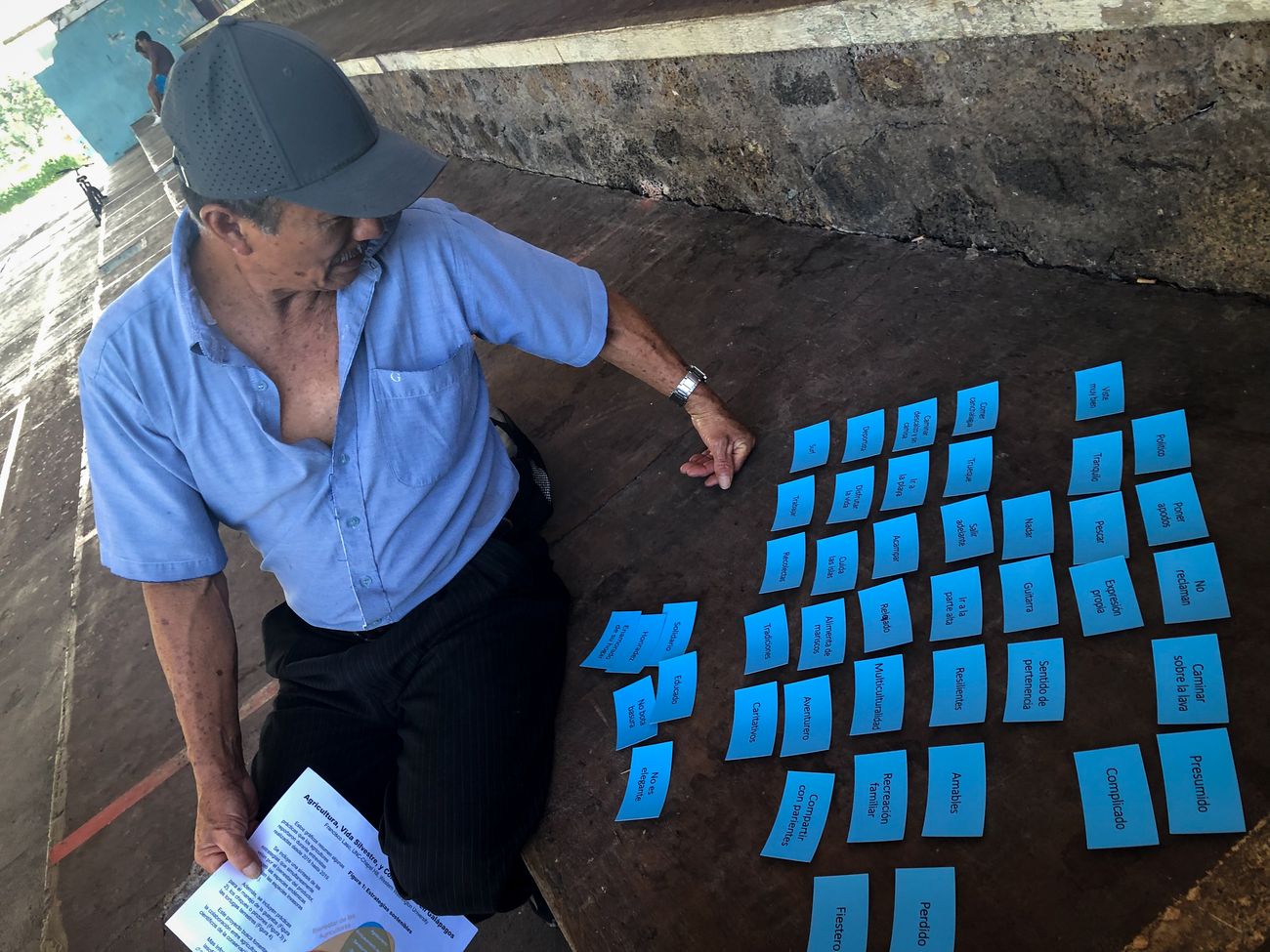
Agriculture, conservation and land change in the Galápagos highlands or mainland Ecuador, with the Galapagos Agroecological Observatory and partners in Ecuador. Possible projects: land-cover change monitoring in Google Earth Engine, farmer knowledge and participatory mapping, environmental justice and land systems, or bilingual open-data tools.
Spanish is strongly preferred for this track, because much of the work happens directly with farmers and partners in Ecuador.
Track B — Accessibility and participatory mapping
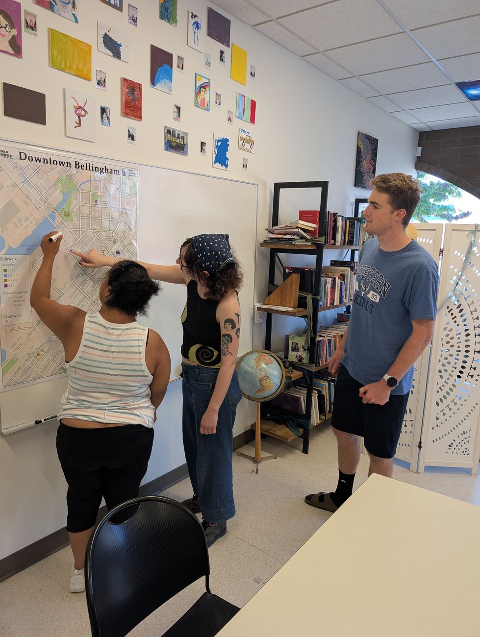
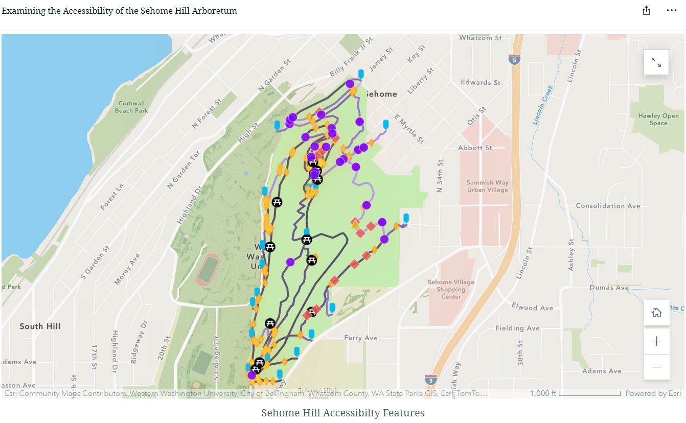
Mapping barriers, and barrier-free routes, together with disabled people on the WWU campus, in the Sehome Hill Arboretum and in Bellingham, building on the Mapping Accessibility Project. Possible projects: accessible routing and plain-text maps for screen-reader users, sensory spaces, trail and slope mapping with multispectral drones and elevation data (including LiDAR-derived terrain), or how institutions use (and ignore) accessibility data.
No Spanish needed, and partners on campus are already in place.
Or propose your own
If you have a question about what — or who — is missing from the map, and it fits the lab, we want to hear it.
What you would gain
- Funding through a Teaching Assistantship, usually in the courses closest to your skills: the GIS sequence, Introduction to Remote Sensing, Introduction to Research Methods, or Understanding and Communicating Environmental Data and Information.
- Skills in GIS, remote sensing, Google Earth Engine, R, drone mapping and participatory methods.
- Real partners and real outputs: co-authored work, open-data tools and public-facing communication.
- Mentoring that follows your goals, whether that’s a Ph.D., government, non-profit or industry work.
What we look for
Essential
- Curiosity about spatial questions and the people behind them.
- Follow-through: you finish what you start, and say so when you’re stuck.
- Clear writing, or a strong wish to get better at it.
- Care and respect when working with communities and partners.
Helpful, but we can teach it
- Coursework or experience in GIS, remote sensing or geography.
- Some coding in R, Python or Google Earth Engine.
- Spanish (strongly preferred for Track A).
If you meet some of these and are excited by the work, please get in touch — you don’t need to tick every box.
How to get in touch — two steps
- Say hello — by January 10, 2027. Email lasof@wwu.edu with:
- your CV, and
- a few paragraphs on which track (or your own idea) interests you, why, and what you would like to learn.
- Optional: a link to a map, project or code you’re proud of.
- Apply — by February 1, 2027. If it’s a good fit, you submit the formal application (statement, writing sample, transcripts and references) to the WWU Graduate School by the February 1 priority deadline for admission and TA funding.
International applicants are welcome. Please write early, as funding works differently for international students and we’ll want to talk it through together.
Mapear lo que los mapas dejan fuera
Maestría (M.A.) financiada en Estudios Ambientales · Western Washington University
El Dr. Francisco Laso busca un/a estudiante de maestría para unirse al programa de M.A. en Estudios Ambientales (ENVS) en otoño de 2027.
Nuestro trabajo parte de una idea sencilla: lo que no aparece en el mapa es fácil de ignorar. En el laboratorio usamos herramientas geográficas para documentar lo que los mapas oficiales suelen pasar por alto — la biodiversidad en las fincas, el conocimiento que los agricultores tienen de su tierra, las barreras que las personas con discapacidad enfrentan cada día — para que pueda ser reconocido y tomado en cuenta en las decisiones, junto a las visiones que suelen predominar. Lo hacemos junto con las personas cuyos lugares y experiencias mapeamos, y en sus propios términos.
Puedes sumarte a una de dos líneas en curso o proponer tu propia pregunta.
Línea A — Galápagos y Ecuador
Agricultura, conservación y cambio del paisaje en la zona alta de Galápagos o en el Ecuador continental, con el Observatorio Agroecológico de Galápagos y socios en Ecuador. Posibles proyectos: monitoreo del cambio de cobertura del suelo en Google Earth Engine, conocimiento campesino y mapeo participativo, justicia ambiental y sistemas de uso del suelo, o herramientas de datos abiertos bilingües.
Para esta línea se valora mucho el español, porque gran parte del trabajo se hace directamente con agricultores y socios en Ecuador.
Línea B — Accesibilidad y mapeo participativo
Mapear barreras, y rutas sin barreras, junto con personas con discapacidad en el campus de WWU, el Arboreto de Sehome Hill y Bellingham, a partir del Mapping Accessibility Project. Posibles proyectos: rutas accesibles y mapas en texto para lectores de pantalla, espacios sensoriales, mapeo de senderos y pendientes con drones multiespectrales y datos de elevación (incluido terreno derivado de LiDAR), o cómo las instituciones usan (o ignoran) los datos de accesibilidad.
No requiere español, y los socios en el campus ya están en marcha.
O propón tu propio proyecto
Si tienes una pregunta sobre qué — o quién — falta en el mapa, y encaja en el laboratorio, queremos escucharla.
Qué ganarías
- Financiamiento mediante una Asistencia de Docencia (TA), normalmente en los cursos más cercanos a tus habilidades: la secuencia de SIG, Introducción a la Teledetección, Introducción a los Métodos de Investigación, o Comprensión y Comunicación de Datos Ambientales.
- Habilidades en SIG, teledetección, Google Earth Engine, R, mapeo con drones y métodos participativos.
- Socios y resultados reales: publicaciones en coautoría, herramientas de datos abiertos y comunicación con el público.
- Mentoría según tus metas: doctorado, sector público, ONG o empresa.
Qué buscamos
Esencial
- Curiosidad por las preguntas espaciales y por las personas detrás de ellas.
- Constancia: terminas lo que empiezas y avisas cuando te atascas.
- Escritura clara, o muchas ganas de mejorarla.
- Cuidado y respeto al trabajar con comunidades y socios.
Útil, pero se puede aprender
- Cursos o experiencia en SIG, teledetección o geografía.
- Algo de programación en R, Python o Google Earth Engine.
- Español (muy valorado para la Línea A).
Si cumples algunos de estos puntos y el trabajo te entusiasma, escríbenos: no necesitas cumplir con todo. Los cursos del programa se dictan en inglés.
Cómo contactarnos — dos pasos
- Preséntate — hasta el 10 de enero de 2027. Escribe a lasof@wwu.edu con:
- tu CV, y
- unos párrafos sobre qué línea (o qué idea propia) te interesa, por qué, y qué te gustaría aprender.
- Opcional: un enlace a un mapa, proyecto o código del que estés orgulloso/a.
- Postula — hasta el 1 de febrero de 2027. Si hay buena afinidad, envías la postulación formal (carta de motivación, muestra de escritura, certificados de notas y referencias) a la Escuela de Posgrado de WWU antes de esa fecha prioritaria para admisión y financiamiento.
Recibimos postulantes internacionales. Escríbenos con tiempo: el financiamiento funciona de otra manera para estudiantes internacionales y conviene conversarlo juntos.
Undergraduates
Most undergraduate research in the lab happens through the Mapping Accessibility Project and through applied GIS courses, where student teams map real problems on campus with partners such as the Disability Outreach Center. Ways to get involved:
- Team projects in GIS IV (ENVS 421) that feed directly into the Mapping Accessibility Project.
- Senior projects in Environmental Studies on accessibility, spatial analysis or environmental decision-making.
- Independent research on remote sensing or drone mapping, including work connected to the Galápagos observatory.
No prior GIS experience is needed to start a conversation. Email lasof@wwu.edu with your year and major, what interests you, and any courses or skills you already have.